A dream home can quickly turn sour if there’s uncertainty about where the garden ends and the neighbour’s begins. In Ireland, property boundary disputes are one of the most common sources of tension between homeowners, and they can lead to expensive legal battles if not resolved.
At iSurv, our surveyors are often called in to clarify boundaries, whether for homebuyers, homeowners planning extensions, or solicitors acting in disputes. Here’s why boundaries matter, the issues that cause problems, and how a boundary surveyor in Ireland can help.
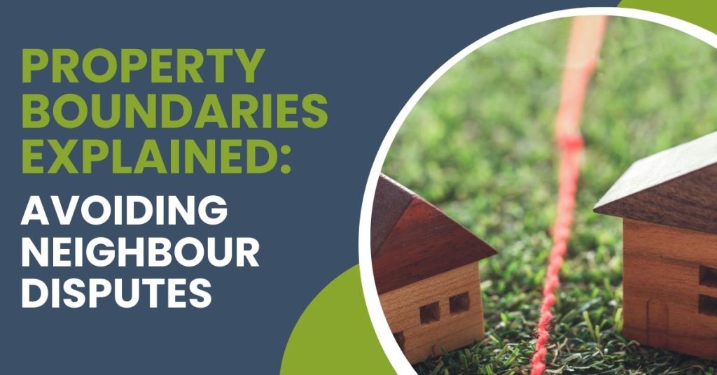
Why property boundaries matter
Boundaries define more than just fences or hedges. They determine:
- Ownership: who legally owns the land and structures on it.
- Access: rights of way, shared driveways, or laneways.
- Building work: whether you can extend, add a shed, or build near a fence or wall.
If boundaries are unclear, even minor changes, such as moving a garden wall or planting a hedge, can spark disputes.
Common causes of boundary disputes in Ireland
Surveyors regularly come across the same issues leading to disagreements:
Hedges, walls and fences
Over time, hedges grow, walls lean, and fences get moved. What seems like a harmless change can result in a neighbour claiming land that isn’t theirs.
Extensions and sheds
Building too close to or across a boundary line is a frequent source of contention. Without clear plans, it’s easy to encroach on a neighbour’s property.
Old or inaccurate maps
Many Irish properties, particularly rural ones, still rely on outdated title maps that don’t reflect current ground conditions.
Shared access
Shared driveways, private lanes, and rights of way can lead to disagreements over use and maintenance.
How boundaries are defined
In Ireland, boundaries are generally determined by:
- Title deeds: legal documents that define the extent of the land.
- Land Registry maps: official maps that show property lines, though sometimes imprecise.
- Physical markers: such as walls, fences, ditches, or hedgerows, which may or may not align with legal records.
Because boundaries can shift over time, a professional surveyor is often needed to interpret both the paperwork and the physical reality on-site.
The role of a surveyor
A property surveyor in Ireland plays a key role in resolving boundary concerns:
- Measuring and mapping: accurately identifying property lines using modern surveying tools.
- Comparing records: cross-checking title deeds with Land Registry maps and site conditions.
- Providing reports: offering clear, independent documentation that can be used in legal or neighbour discussions.
- Preventing disputes: advising buyers and homeowners before disputes arise, especially when buying property or planning extensions.
Real-world impact
Boundary disputes can quickly escalate. We’ve seen cases where unclear lines led to:
- Delays in property sales.
- Costly legal battles between neighbours.
- Demands to remove or alter newly built extensions.
In every case, a survey carried out early could have saved time, money, and stress.
How iSurv can help
Whether you’re buying, selling, or simply want peace of mind, we can clarify exactly where your property lines lie.
Our surveys provide clear, reliable reports that can help prevent misunderstandings, or provide solid evidence if a dispute has already begun.
Neighbour relationships are worth protecting, and clear boundaries are the key. Whether it’s a hedge that’s crept too far, an old Land Registry map, or a new extension, knowing where your property begins and ends can save years of conflict.
Before you buy, sell, or build, consider a professional property survey. At iSurv, we make sure you know exactly where you stand.